

You can find on this page the blank map of Ukraine to print and to download in PDF. The contours map of Ukraine presents the international boundary of Ukraine in Europe. You can use the vector map of Ukraine for personal or educational use.

The blank map of Ukraine shows the country Ukraine empty. This blank map of Ukraine will allow you to use the map for personal activities or educational with children for example (drawing). The empty map of Ukraine is downloadable in PDF, printable and free.
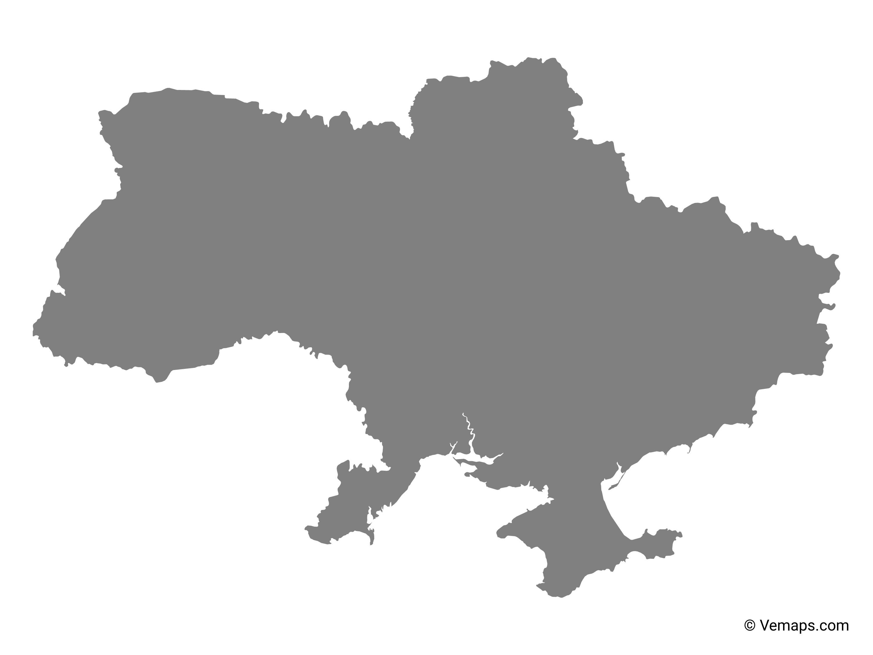
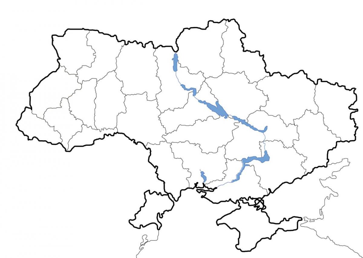
The Blank map of Ukraine is a decent source of learning the complete geography of this country and also to draw the accurate map of the country on the basis of learned geography. Ukraine is an Eastern European Nation which is also the second-largest country of Europe in the term of the land area just after Russia. It shares its border with Russia, Hungary, Polland, Romania, and Moldova etc. Ukraine is divided into 24 regions or oblast.
Kyiv is the official capital of the country as its mentioned in the Blank map of Ukraine, which centralizes the whole of Ukraine and the estimated population of the country is over 41 million people. The population base of Ukraine is comprised of the majority of native Ukrainians with nearly 18% Russians and other unspecified minorities. Ukraine is having fully market economy and the country produces and exports transportation vehicles and the spacecraft equipment to the international market. The economy of the country is mainly dependent upon its industries, which contributes the maximum to its GDP.
If you are willing to draw the full-fledged map of Ukraine with your own knowledge and skills but finding it hard to start from scratch then you need to try out this blank outline map of Ukraine. In this map, you will see the outline border of Ukraine giving the full outer shape to the country. You simply can follow up on these outlines to build up the complete structure of the Ukrainian map. This map can be very useful for beginners.
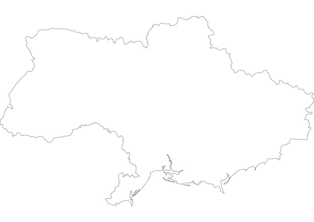
The Ukraine map outline shows all the contours and international boundary of Ukraine. This outline map of Ukraine will allow you to easily learn about neighboring countries of Ukraine in Europe. The Ukraine contours map is downloadable in PDF, printable and free.
Ukraine has borders with 7 countries, for a total length of 4,558 km as you can see in Ukraine map outlines: Belarus 891 km, Hungary 103 km, Moldova 939 km, Poland 428 km, Romania (south) 169 km and Romania (west) 362 km, Russia 1 576 km, Slovakia 90 km. Only about 17% of Ukraine is covered in Europe which makes it one of the lowest of all countries in Europe. Ukraine recognizes the importance of securing its international borders and has therefore heavily invested in border security. The mandate of guarding the state border of Ukraine lies with the State Border Guard Service of Ukraine, a law enforcement agency established under the country Constitution.
Hungary is one of Ukraine bordering countries, with which it shares a border stretching about 85 miles in length. The course of the Tisza River defines about 53 miles of the international border as its shown in Ukraine map outlines. The border was established while Ukraine was part of the Soviet Union after the Zakarpattia administrative area was transferred from Hungary to the Ukrainian SSR in the mid-20th century. West of Ukraine is Poland, a member of the EU which is also a bordering country. The length of the border varies between 332 miles and 329 miles. The border was first delineated in 1919 after the Ukrainian-Polish War and the subsequent 1920 Treaty of Warsaw. The demarcation of the border was revised after Ukraine became part of the Soviet Union in 1921. Russia borders Ukraine to the northeast of the country. The international border separating the two nations is 1,282 miles long, making it the longest of the seven international borders of Ukraine. The two countries each have five oblasts extending and touches the international border.
Moldova is situated southwest of Ukraine, and the two countries share a long international border. The border is 759 miles in length making it Ukraine second-longest international border shared with another country. 166 miles of the border follows the course of rivers as its mentioned in Ukraine map outlines. The tri-point connecting Ukraine, Moldova, and Romania act as the start of the border, from where it stretches southwest ending at the Black Sea. Romania is another of Ukraine bordering countries, and the two countries share a 381-mile long international border. The border starts at the Ukraine-Moldova-Romania tri-point and extends south to the Black Sea, and is made of two sections, the northern and southern sections. The border also represents part of the EU international border, as Romania is a recognized member of the EU.
The vector map of Ukraine shows entire surface of Ukraine empty. This vector map of Ukraine will allow you to make changes or add details to the map of Ukraine in Europe, for personal or educational purposes. The vectorial map of Ukraine is downloadable in PDF, printable and free.
Ukraine total area as you can see in Ukraine map vector: 233,089 sq mi (603,700 sq km). Population (2014 est.): 44,291,413 (growth rate: ?0.6%); birth rate: 9.41/1000; infant mortality rate: 8.1/1000; life expectancy: 69.14; density per sq mi: 191. Arable land: 53.85%. Agriculture: grain, sugar beets, sunflower seeds, vegetables; beef, milk. Labor force: 22.17 million (2013 est.); industry 18.5%, agriculture 15%, services 65.7% (2008).
Ukraine population is overwhelmingly Christian; the vast majority - up to two-thirds - identify themselves as Orthodox, but many do not specify a particular branch; the UOC-KP and the UOC-MP each represent less than a quarter of the country population, the Ukrainian Greek Catholic Church accounts for 8-10%, and the UAOC accounts for 1-2%; Muslim and Jewish adherents each compose less than 1% of the total population (2013 est.) as its shown in Ukraine map vector.
1997 boundary delimitation treaty with Belarus remains unratified due to unresolved financial claims, stalling demarcation and reducing border security; delimitation of land boundary with Russia is complete with preparations for demarcation underway; the dispute over the boundary between Russia and Ukraine through the Kerch Strait and Sea of Azov is suspended due to the occupation of Crimea by Russia; Moldova and Ukraine operate joint customs posts to monitor transit of people and commodities through Moldova break-away Transnistria Region, which remains under the auspices of an Organization for Security and Cooperation in Europe-mandated peacekeeping mission comprised of Moldovan, Transnistrian, Russian, and Ukrainian troops; the ICJ ruled largely in favor of Romania in its dispute submitted in 2004 over Ukrainian-administered Zmiyinyy/Serpilor (Snake) Island and Black Sea maritime boundary delimitation; Romania opposes Ukraine reopening of a navigation canal from the Danube border through Ukraine to the Black Sea as its mentioned in Ukraine map vector.